
Ӳкерчĕк:Europe satellite image location map Britain To Turkey.jpg
Ҫак умкурӑмӑн виҫи: 773 × 600 пиксел. Ытти разрешенисем: 309 × 240 пиксел | 619 × 480 пиксел | 990 × 768 пиксел | 1280 × 993 пиксел | 2560 × 1986 пиксел | 3807 × 2954 пиксел.
Оригиналлӑ файл ((3807 × 2954 пиксел, файл пысăкăше: 1,8 Мб, MIME-тĕсĕ: image/jpeg))
| Ӑнлантарни |
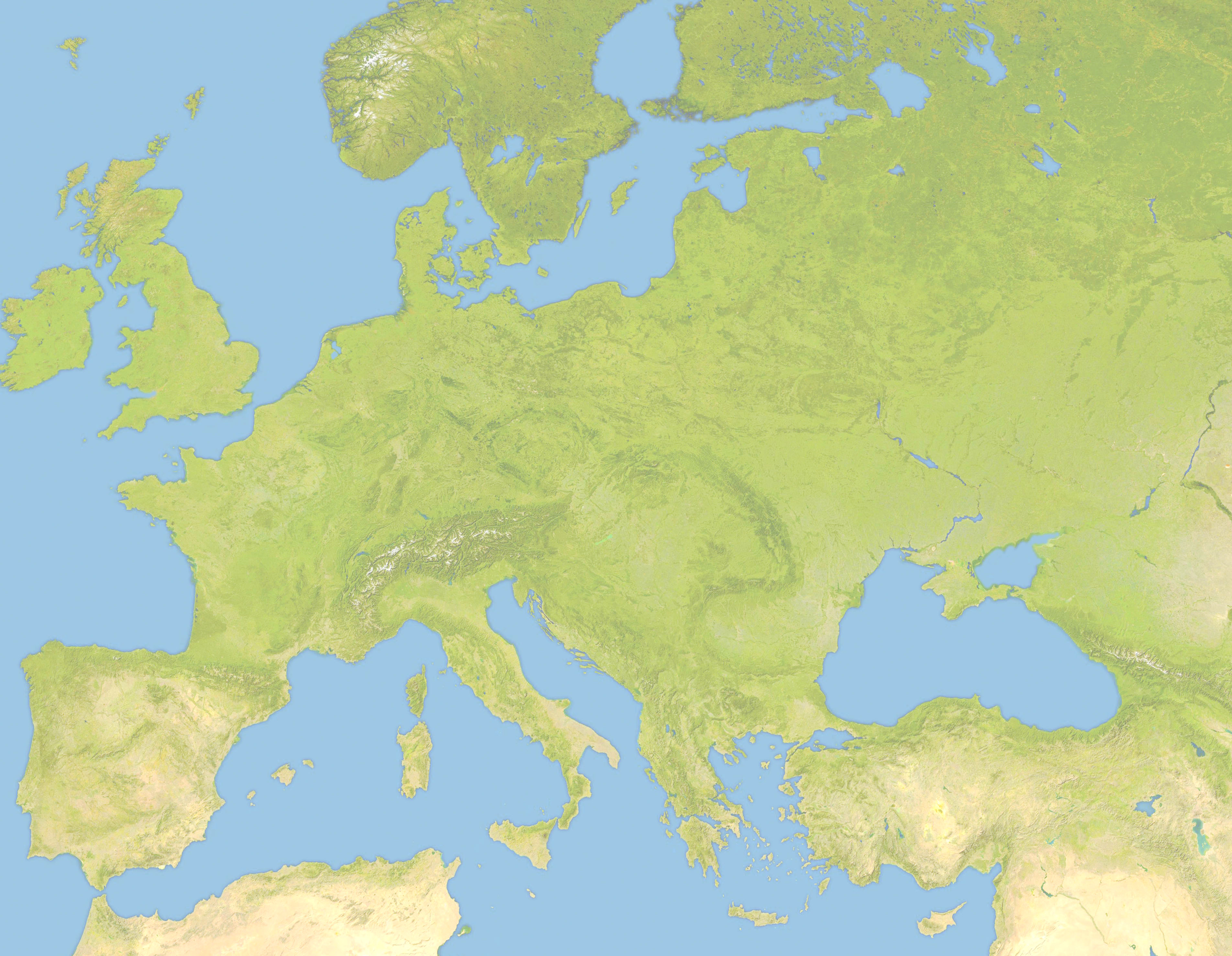
Deutsch: Positionskarte von Europa, Satellitenbild Quadratische Plattkarte, N-S-Streckung 150 %. Geographische Begrenzung der Karte: *N: 63.5° N * S: 34° N * W: -10.25° W * E: 46.8° E English: Location map of Europe, satellite image Equirectangular projection, N/S stretching 150 %. Geographic limits of the map: * N: 63.5° N * S: 34° N * W: -10.25° W * E: 46.8° E |
| Дата | (UTC) |
| Ҫӑлкуҫ | |
| Автор |
|
| Это отретушированное изображение, что означает, что первоначальной версия изображения была изменена цифровым способом. Изменения: Lighter and Geographic limits of the map: * N: 63.5° N * S: 34° N * W: -10.25° W * E: 46.8° E. Оригинал доступен по ссылке: Europe satellite image location map.jpg:
|
Я, владелец авторских прав на это произведение, добровольно публикую его на условиях следующей лицензии:
| Я, владелец авторских прав на это произведение, передаю его в общественное достояние. Это разрешение действует по всему миру. В некоторых странах это не может быть возможно юридически, в таком случае: Я даю право кому угодно использовать данное произведение в любых целях без каких-либо условий, за исключением таких условий, которые требуются по закону. |
Исходный журнал загрузок
This image is a derivative work of the following images:
- File:Europe_satellite_image_location_map.jpg licensed with PD-self
- 2008-09-28T12:40:05Z NordNordWest 5668x3800 (1915310 Bytes) {{Information |Description= {{de|Positionskarte von [[:de:Europa|Europa]], Satellitenbild}} Quadratische Plattkarte, N-S-Streckung 150 %. Geographische Begrenzung der Karte: * N: 74° N * S: 34° N * W: 25° W * O: 60° O {{e
Uploaded with derivativeFX
Файл историйĕ
Вӑхӑт ҫине пуссан, ун чухнехи версине пӑхма пулать.
| Дата/Вăхăт | Миниатюра | Калӑпӑш | Хутшăнакан | Асăрхав | |
|---|---|---|---|---|---|
| хальхи | 19:57, 22 Ҫӗртме уйӑхӗн 2010 | | 3807 × 2954 (1,8 Мб) | Victuallers | {{Information |Description={{de|Positionskarte von Europa, Satellitenbild}} Quadratische Plattkarte, N-S-Streckung 150 %. Geographische Begrenzung der Karte: * N: 72° N * S: 34° N * W: 25° W * O: 60° O {{en|Location map of [[:en:Europe| |
Файлпа усă курни
Ку файлпа ҫак 1 страницӑра усӑ курнӑ:
Файлпа глобаллӑ усӑ курасси
Ку файлпа ҫак викисенче усӑ курнӑ:
- ar.wikipedia.org усӑ курасси
- az.wikipedia.org усӑ курасси
- ba.wikipedia.org усӑ курасси
- be.wikipedia.org усӑ курасси
- ceb.wikipedia.org усӑ курасси
- ce.wikipedia.org усӑ курасси
- da.wikipedia.org усӑ курасси
- en.wikipedia.org усӑ курасси
- Third Crusade
- Battle of Pydna (148 BC)
- Battle of Narbonne (436)
- Third Battle of Tapae
- Domitian's Dacian War
- Battle of Adamclisi
- Battle of Rozgony
- Battle of Ostrovo
- Battle of Rhone Crossing
- Battle of Poznań (1704)
- Battle of Sarmizegetusa
- Siege of 's-Hertogenbosch (1601)
- History of the Expedition of the Emperor Frederick
- Siedlec Desert
- Battle of Roßbrunn
- Siege of Geertruidenberg (1351–1352)
- fa.wikipedia.org усӑ курасси
- fr.wikipedia.org усӑ курасси
- inh.wikipedia.org усӑ курасси
- it.wikipedia.org усӑ курасси
- ka.wikipedia.org усӑ курасси
- kn.wikipedia.org усӑ курасси
- ml.wikipedia.org усӑ курасси
- pt.wikipedia.org усӑ курасси
- ru.wikipedia.org усӑ курасси
- sq.wikipedia.org усӑ курасси
- tr.wikipedia.org усӑ курасси
Ку файлпа глобальлӗ епле усӑ курнине пӑх.